A question for the #lazyweb. Is there a site online that gives a good summary of the state of borders round the world? I imagine this on several dimensions. It's a directed graph or matrix for each major country pair with sub-divisions for specific border crossings. But then with detail depending one one's home country, transport mechanism and a bunch of notes. So for instance, USA->Canada, Blaine-I5, for a German, by bus. Or AzerBaijan->Turkmenistan, Baku-Turkmenbashi, Ferry, Motorcycle.
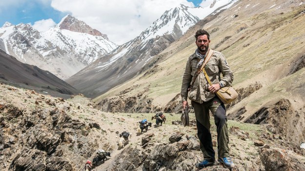
This was prompted by watching the excellent "Walking the Himalayas" series on Channel 4 where Levison Wood attempts to walk from Afghanistan to Bhutan. http://www.channel4.com/programmes/walking-the-himalayas The first couple of episodes involved walking the Wakhan corridor to the Afghan-Pakistan border. Then helicoptering out, Kabul-Islamabad, Gilgit to continue walking from the Pakistan side of the same border post. Then repeating the exercise at the Burzil pass between Pakistan and Kashmir-India having to go Lahore-Amritsar-Srinigar-Dawar to continue the walk only a kilometre or two from where he got stuck and had to bug out. Both were 1500Km detours. The second event was the beginning of the end of the Schengen agreement in the EU where Germany->Denmark and then Denmark->Sweden are turning into check points. This is forced by the influx of middle eastern migrants but it's forcing everyone to carry ID and explain themselves. This is all symptomatic of a world where borders are not opening up. Increasingly they're closing down. And places where you used to be able to cross easily, are now blocked by armed guards. Where you used to be able to just cross, you now need a visa; or a paid guide.
Talking of Refugees. Just came across this,
http://www.techfugees.com/
A bunch of UK tech journalists and commentators brainstorming apps for refugees. That sounds horrendous and easy to criticise but they're actually producing some useful stuff.
Walking the Himalayas

